The upcoming winter is expected to be warmer (by 1.0 to 1.5 degrees Celsius) than last winter – with lower gas demand, both in Europe and in Asia. However, La Niña might bring surprises.

 By Vasilis Pappas, Senior Meteorologist at MET Group
As the days are getting shorter and nights are getting longer in the Northern Hemisphere, let’s have a look at what the energy markets should expect from the upcoming winter.
For this year, we see certain risks related to the state of the atmosphere in the Northern Hemisphere but also in relation to the state of the Indian and Pacific Oceans. These interactions between different regions of the world are called teleconnections. The following teleconnections and atmospheric features seem to be particularly important:
- Quasi-Biennia Oscillation (QBO): This is a lower stratospheric but downward propagating zonal wind variation, with an average period of 28 months. It is at its easterly phase this winter, implying increased risks for reduced Atlantic jet stream and increased blocking conditions – leading to potentially longer cold outbreaks in Europe.
- Indian Ocean Dipole (IOD): This is related to the sea surface temperature difference between western and eastern regions of the Indian Ocean. This difference affects European weather, in particular shaping wintertime rainfall anomalies. For the upcoming winter, the long-range models are indicating a negative IOD at the beginning of the winter (November-December) which is good news for rainfall in Southeastern Europe.
- El Niño Southern Oscillation (ENSO): Probably one of the most widely known teleconnections related to the temperatures in the Pacific Ocean, alternating between El Niño, La Niña or a neutral phase. Currently and for most of the boreal winter, conditions are expected to remain supportive of the La Niña phase. This is generally linked to colder than seasonal temperatures in Eastern Asia, with a less direct impact on Europe.
- Polar vortex: a large area of low pressure and cold air that rotates around Earth’s poles, weakening in summer and strengthening in the winter. The stronger the polar vortex, the more likely it is for the cold air to stay above the poles (in our case over the North Pole) and not to spill towards mid-latitudes. This winter, however, has started with below seasonal strength in the polar vortex – and that creates concerns for frequent cold outbreaks in Europe.
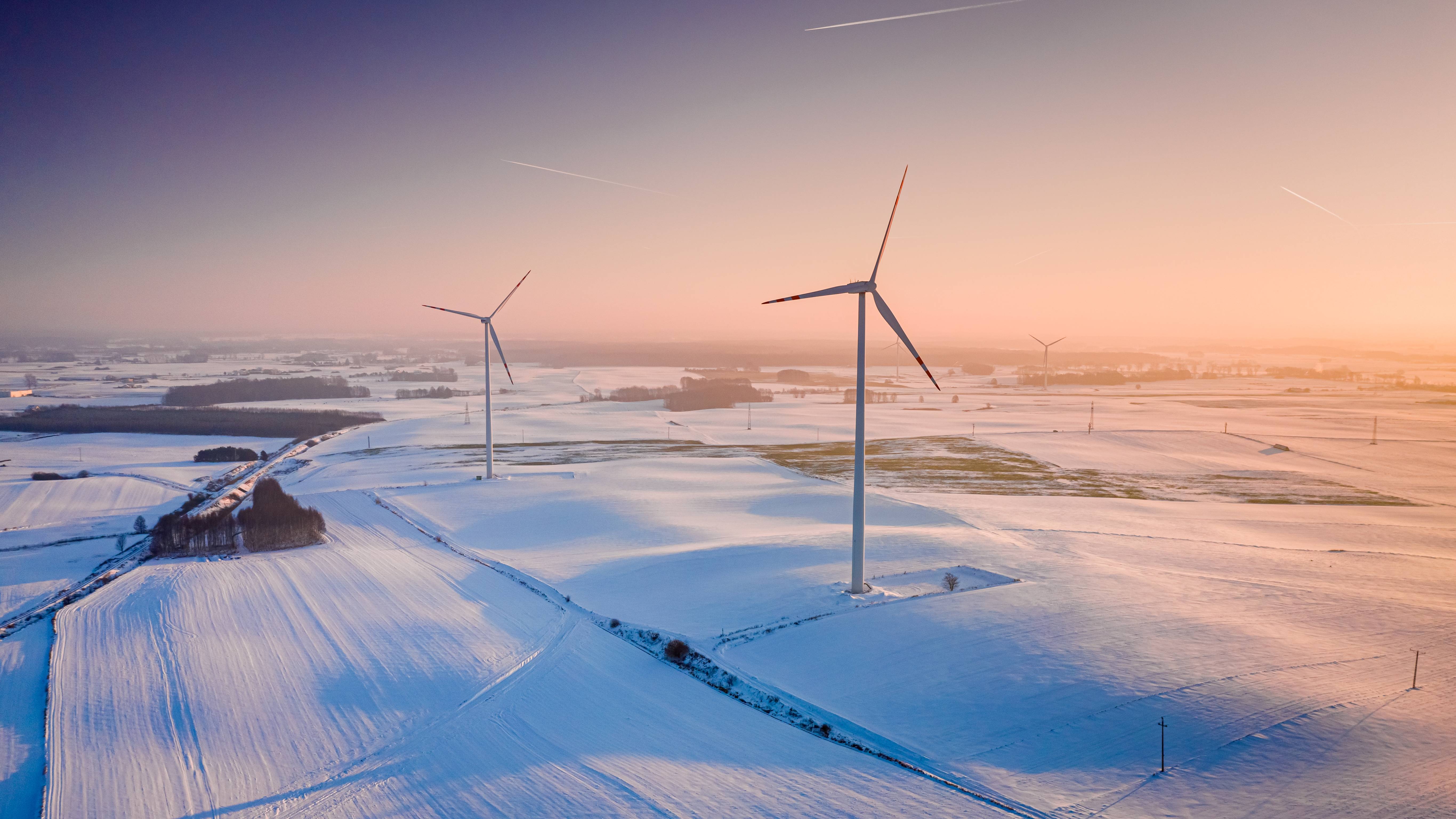
Winter is expected to be a bit warmer this year
After taking all of the above into account, along with the latest sub-seasonal and seasonal forecasts, we expect temperatures on the European continent to be 0.5 to 1.0 degrees Celsius above the winter averages (December-February) of the 2018–2024 period, and 1.0 to 1.5 degrees Celsius above 2024–2025.
While this is our primary forecast, an alternative scenario – with around 20% probability – is an upcoming winter colder by 1.2 degrees Celsius, bringing it close to last winter’s average temperatures.
Purely on temperature–demand relationship (excluding energy efficiency measures and any structural demand destruction/growth), we expect gas demand to be lower than last year, both in Europe and in Asia. The impact of La Niña on eastern Asia, however, could surprise us with lower temperatures.
Spikes in gas and electricity prices might occur in December
In Europe, the latest seasonal forecast indicates favourable conditions for “Dunkelflaute” events in December, when high heating demand coincides with very low levels of solar and wind generation. Such events can lead to spikes in spot natural gas and electricity prices due to the need of ramping up thermal generation to cover the demand that would otherwise be covered from renewable energy sources.
A significant Dunkelflaute event occurred on 6 November 2024, leading to a major electricity price surge when the average price reached €231/MWh, with some hourly prices exceeding €800/MWh. Days with high demand and very low renewable power generation would also mute the impact of battery energy storage systems (BESS) which otherwise help reduce prices during peak generation demand.
The hydrological outlook is particularly important, especially for the hydro-sensitive region of Southeast Europe. The expected – based on the latest forecast – above seasonal rain in that region would be a big relief, as hydro reservoirs are at the lowest point of the past seven years.
Finally, the interplay between European and Asian weather-related demand is significant, as potentially increased demand in Asia could have an impact on the LNG netback differential between the two regions, and a subsequent reshuffling of LNG deliveries in the two regions.
What do El Niño and La Niña do?
El Niño and La Niña are two opposing phases of a climate pattern called the El Niño-Southern Oscillation (ENSO) that occurs in the tropical Pacific Ocean, influencing weather patterns worldwide. El Niño is the warm phase, characterized by warmer-than-average sea surface temperatures, while La Niña is the cold phase, with cooler-than-average sea surface temperatures. El Niño and La Niña can both have global impacts on weather, wildfires, ecosystems and economies. Episodes of El Niño and La Niña typically last 9 to 12 months but can sometimes extend for years. El Niño and La Niña events occur every two to seven years on average.